
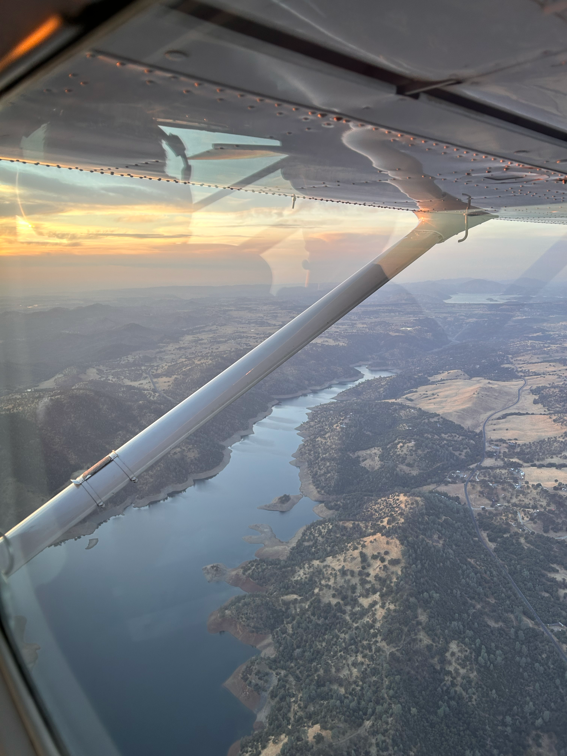
Let’s capture spectacular aerial images
Aerial Photography
Yosemite Flights is an established, successful and professional aerial imaging company.
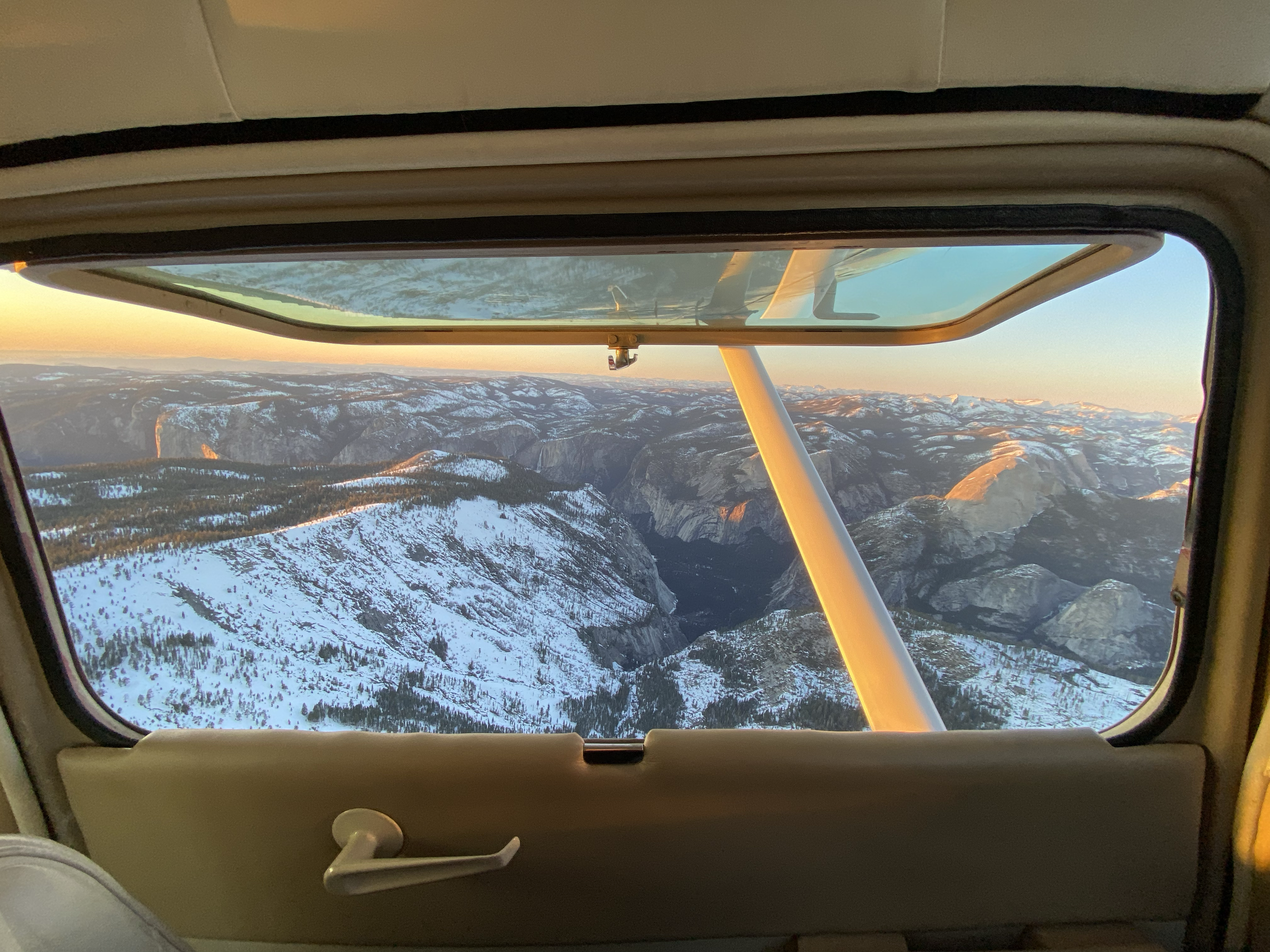
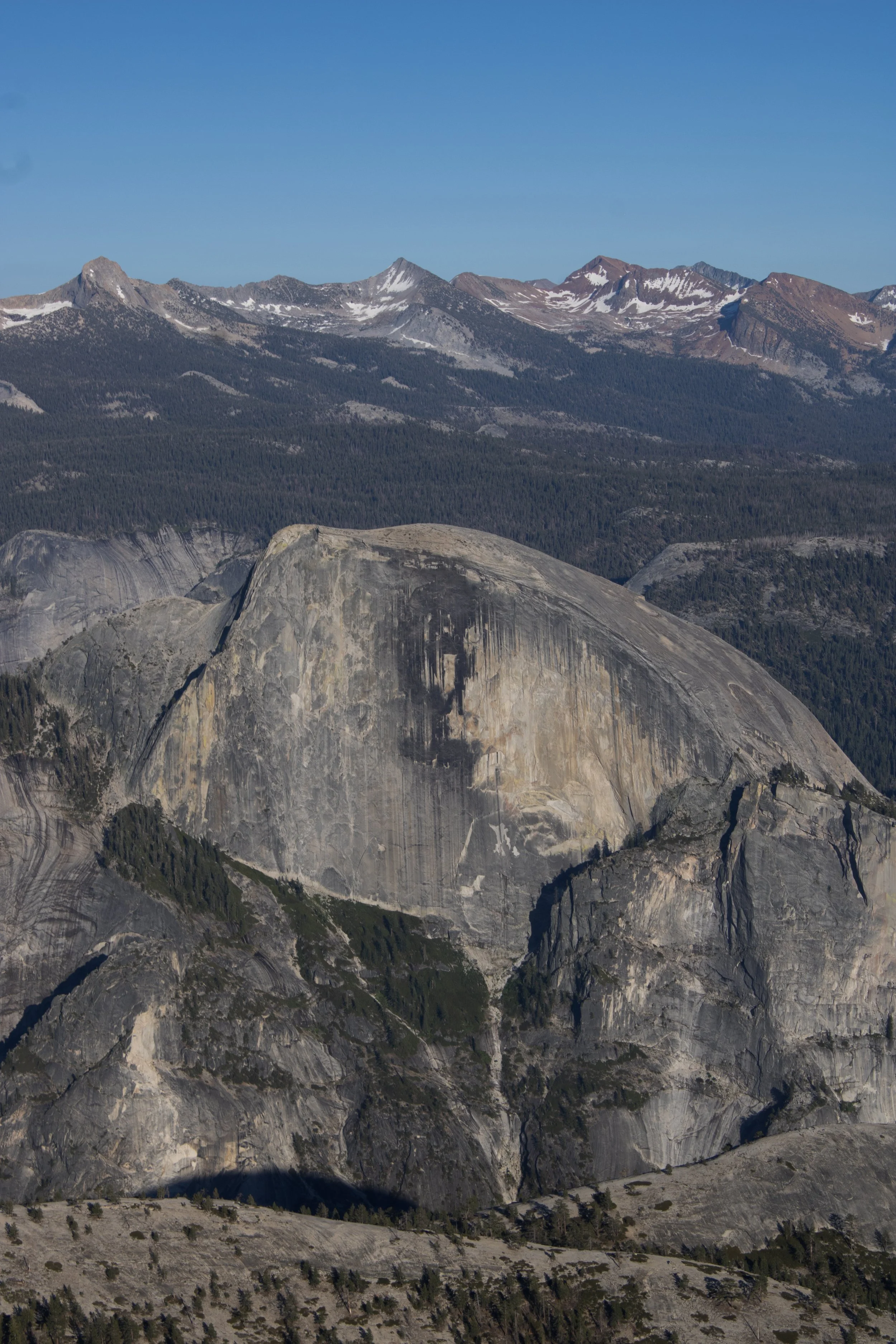
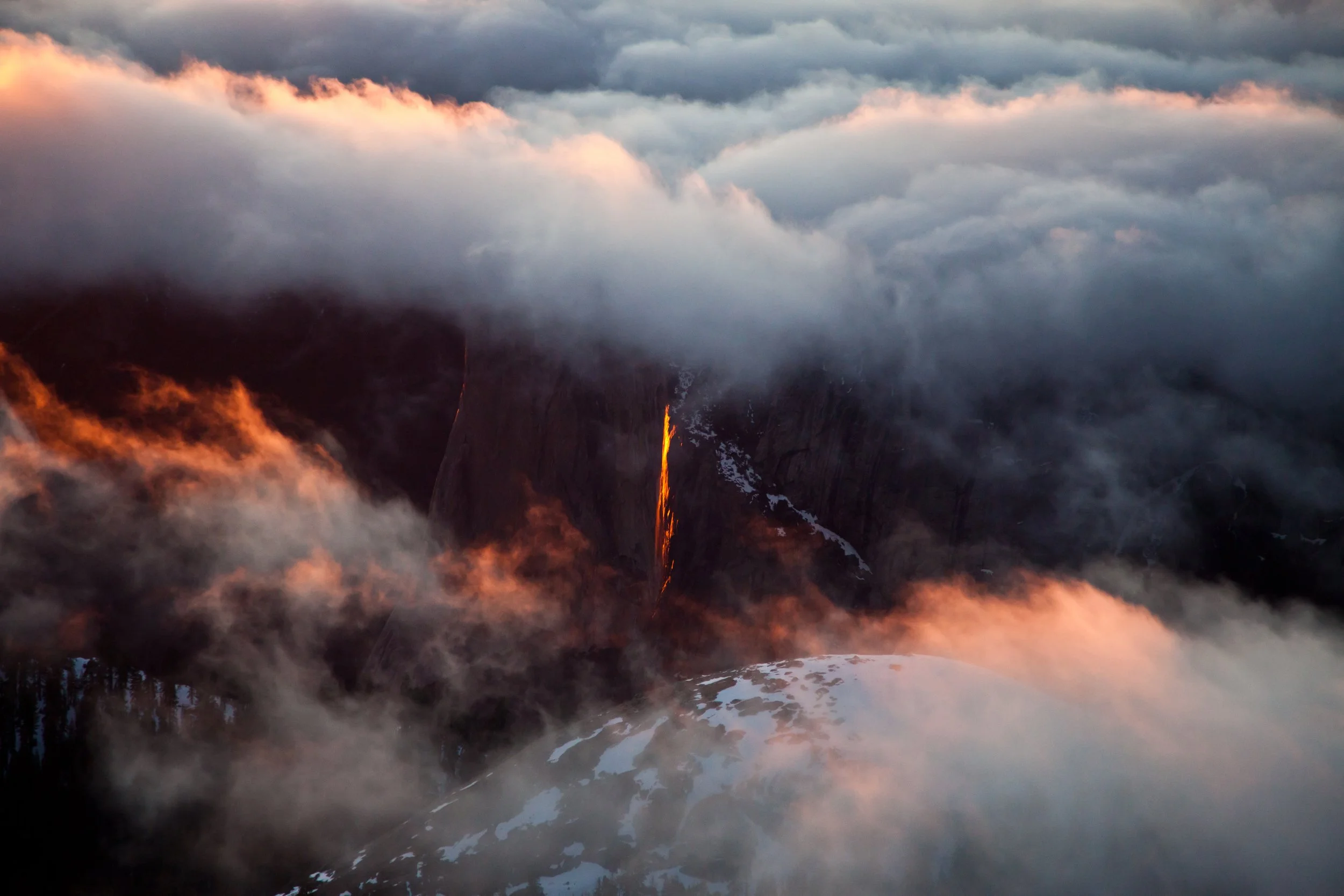
There are many advantages of aerial shots, from being able to get your whole subject in the image to having a superior bird’s eye view that is not only hard to come by, but also very impressive.
Ultimately, aerial shots are a great way to share a certain point of view. By showing footage from above, you can change the audience’s perspective and share a much more impressive angle.
Our areas of expertise:
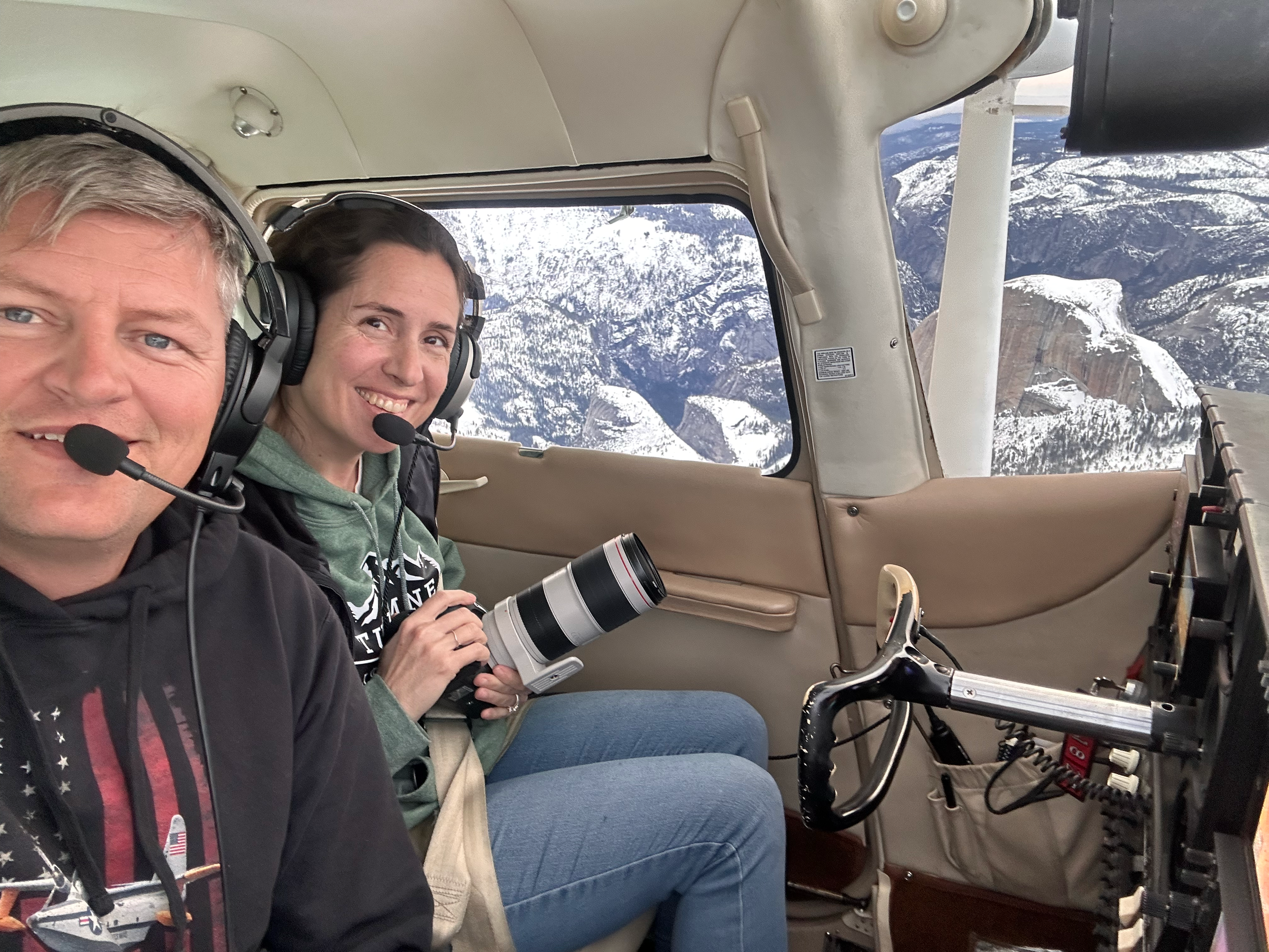
Aerial Photography - Hire our plane and pilot to get specific photos and/or video at the locations of your choice.
Aircraft Rates:
Cessna 182 is $500 per hour
Please contact us today to discuss your requirements.
Advertising and corporate - Taking photos of your business or site analysis for real estate investment and development over time
Media production - Documentaries, news and other media production

Customize your Aerial Photography route
It all begins with an idea. What image or video do you want to capture to tell the story of your experience. We listen to your goals and go over a preflight plan, route and schedule time to make it happen.